The prestigious tennis tournament in Madrid is gaining momentum, and in the second round, Dayana Yastremska will face Coco Gauff. Our experts have prepared their prediction and betting tips for this event.
Dayana Yastremska
The Ukrainian tennis player has been showing a decent level of play this season. Although she hasn’t won any tournaments yet, she did reach the final in Linz, where she lost to Alexandrova in three sets. Less than a month from now, Yastremska will turn 25 and currently holds the 46th spot in the world rankings.
In Madrid, she started with a hard-fought victory over Britain’s Francesca Jones – 7:6, 4:6, 6:3. So far this season, Yastremska has played 24 matches, securing 15 wins. Focusing on clay courts, she’s won three out of four matches; when the Ukrainian finds her rhythm, she’s capable of defeating even top-level opponents.
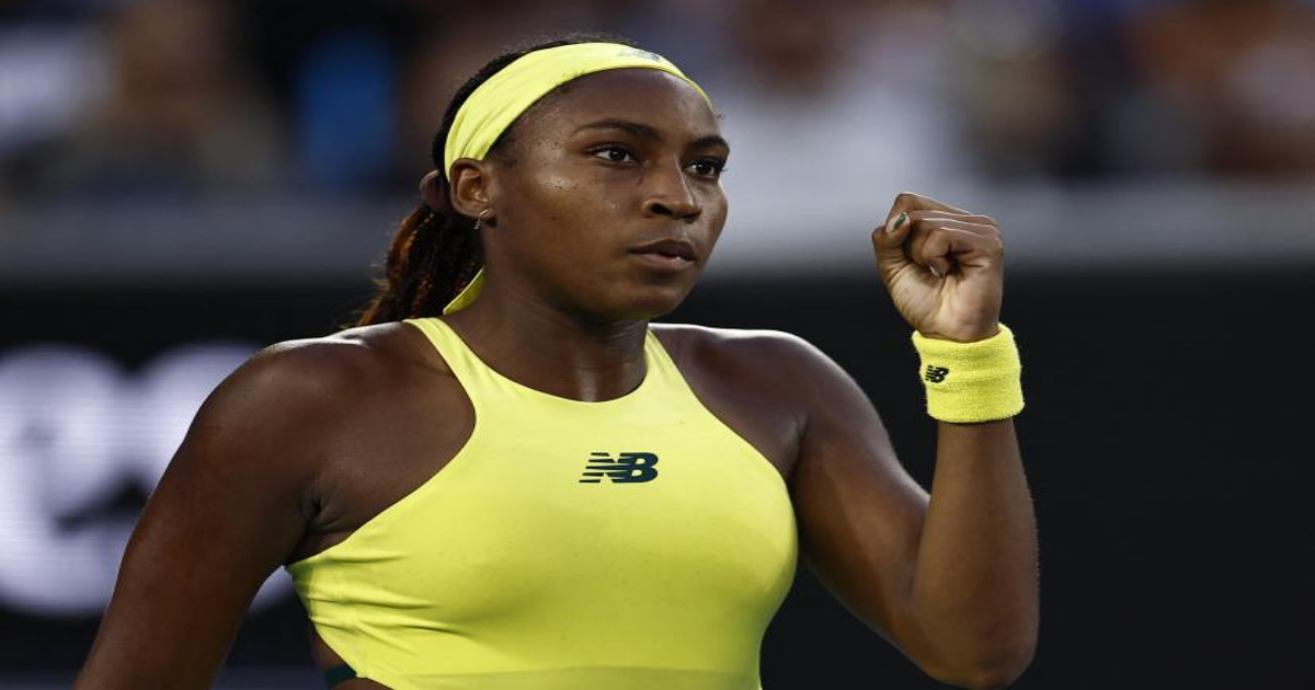
Coco Gauff
Although the American is only 21 years old, Gauff needs no introduction as she is ranked fourth in the world and has already won a Grand Slam title. She can’t call this season a resounding success so far. Gauff started by helping her national team win a tournament at the beginning of the year, picking up five wins in five matches. This was followed by a quarterfinal appearance at the Australian Open, but she hasn’t managed any standout results since.
She played on clay for the first time this season in Stuttgart, where she defeated Germany’s Seidel – 6:1, 6:1, and then lost to Italy’s Paolini – 4:6, 3:6. Overall, the American has played 20 matches this year, winning 14 of them.
Head-to-Head
The players have faced each other twice, with both meetings taking place on clay. Gauff won both encounters convincingly and leads the head-to-head 2:0.
Match Prediction
It’s not hard to guess that the American is the favorite in this matchup: she is higher in the rankings and has the advantage in head-to-head meetings. Although Gauff is not in her best form right now, her strong opponent could take advantage of that. Still, it’s time for the American to regroup and remind everyone why she’s considered the future of world tennis. We’ll go with the favorite to win with a -4.5 game handicap.