When Jimmy Johnson coached the Dallas Cowboys, he had a famous line about how he treated players differently. He once cut a special teamer for falling asleep in a meeting. When he was asked if he would have done the same to a star, Johnson said he would have just woken him up.
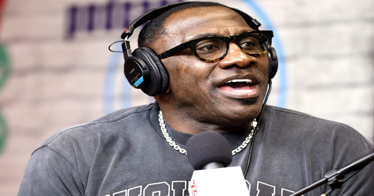
ESPN might be paying Shannon Sharpe the hefty sum of $6.5 million a year to argue with Stephen A. Smith two days a week on “First Take,” but he is not important enough for them to ride with him through a public back-and-forth civil suit with a woman barely old enough to legally drink.
If he continues to do his own non-ESPN podcast, it is hard to believe that he was the one fully driving the decision to take a leave of absence from Disney-owned ESPN. If Sharpe didn’t take this action, would ESPN have just ignored it all?
In Sharpe’s words, he is stepping away from ESPN to fight the false allegations, and he plans to return at the beginning of the NFL preseason. Maybe, but he is only on four hours a week.
Let’s say he did a couple of hours extra of preparation — what are we talking about? 10 hours? 15? Seems like there is room to fight the allegations and discuss LeBron James’ legacy. His podcast takes a lot more time during his week.
Sharpe’s biggest value to ESPN is during football season, as he was one of the great tight ends in NFL history. The sport never really slows down these days, but if there was a time for a respite, it’s the start of summer.
This isn’t an easy spot for ESPN, because the truth of the situation is unknown. What has been out there has been ugly — and uncomfortable for Disney-owned ESPN.
Sharpe’s announcement on Thursday afternoon that he is stepping away from ESPN — quickly followed by ESPN’s own statement affirming they “agree” with Sharpe’s decision — allows everyone to take a timeout. Sharpe will have a chance to try to clear his name or make the issue go away.
Maybe come August, he will be back debating Smith about the Cowboys. Maybe not.
Sharpe is more than a special teams player. His hourly rate has star value, no doubt, but he is a part-time performer.
If this is the end of Shannon Sharpe at ESPN, it would not be surprising. He is not valuable enough to them if his name is not cleared.
(Photo: Sean Gardner / Getty Images)