How loud can Little Caesars Arena get? That is the primary question I have been asking myself as the Detroit Pistons host the New York Knicks in game three of the first-round series in the NBA Playoffs. I was at the first home game the last time the Pistons hosted a tilt in the playoffs. Blake Griffin was returning from the knee injury and the building was electric — even as everyone knew the Pistons were about to get crushed by the visiting Milwaukee Bucks. I’ll be there again tonight, and I’m wondering just how much more amped people will be to root for a team they believe in. A team they just saw break a playoff losing streak that stretched back to 2008, a team they believe can win the series against the Knicks, and a team they believe has a legitimate NBA future. It will be loud. I can’t wait to see how loud.
Also, for those wondering, Isaiah Stewart is officially listed as questionable tonight with right knee inflammation.
Game Vitals
When: 7 p.m. ET
Where: Little Caesars Arena, Detroit, Michigan
Watch: TNT, MAX
Odds: Pistons +1.5
Projected Lineups
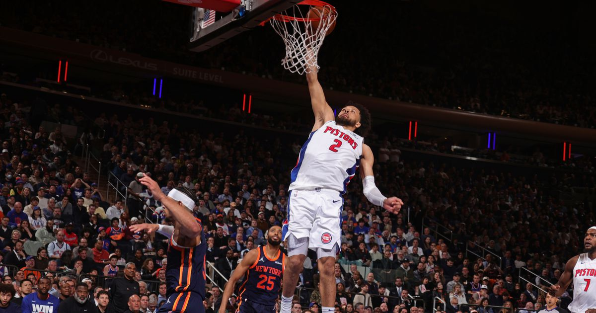
Detroit Pistons (1-1)
Cade Cunningham, Tim Hardaway Jr, Ausar Thompson, Tobias Harris, Jalen Duren
New York Knicks (1-1)
Jalen Brunson, Josh Hart, Mikal Bridges, OJ Anunoby, Karl Anthony-Towns