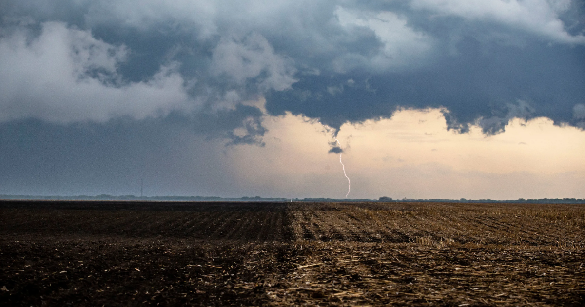
A powerful spring storm is rapidly approaching central Illinois with several counties already under a tornado watch.
Those counties are Adams, Brown, Calhoun, Greene, Jersey, Macoupin, Madison, Monroe, Pike, Randolph, and St. Clair.
The rest of central Illinois will likely be in a tornado watch later in the evening.
What’s the path of the storm?
The storm will enter west-central Illinois between 7 and 8 p.m.
The storm will reach Springfield around 10 p.m. and will reach the Indiana border around 2 a.m.
Damaging winds are the biggest threat for central Illinois with 45% chance or greater of seeing severe winds of 58 mph or higher. Gusts could exceed 75 mph, said Kirk Huettl, a meteorologist with the National Weather Service.
The storm is moving east at 50 to 60 mph and will also dissipate quickly.
How often are we at moderate risk?
The storm is categorized as a moderate risk, which is out of a scale of five.
Central Illinois saw only a couple such storms last year and the year before, Huettl said.
“They don’t happen that often, so we take them more seriously as we get into these stronger categories of severe weather.”
Are tornadoes expected?
Most of central Illinois has a 10% likelihood of seeing a tornado, while the southernmost part of the state and the southwest portion has about a 15% chance of seeing tornadoes.
More: Wildfires in Illinois? National Weather Service warns of tornadoes, hail, fires on Friday
Will Saturday be windy?
Strong winds are expected Saturday that are unrelated to the storm.
Tom Ackerman covers breaking news and trending news along with general news for the Springfield State Journal-Register. He can be reached at [email protected].