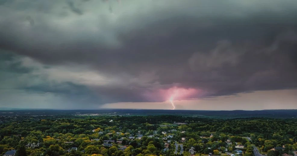
The threat of some isolated to scattered thunderstorms is increasing across our area, especially late Thursday afternoon through around sunset. While many spots that receive thunderstorms should see downpours, lightning and thunder, be on the alert for WARNINGS for dangerous wind and/or hail damage.
A WATCH means conditions are somewhat favorable for a thunderstorm to tap into ingredients that would produce wind and/or hail damage, but there is no imminent threat.
A WARNING would indicate that a particular thunderstorm will be much more likely to create damaging wind and hail within the warned area!
While mostly eastern and southeastern counties have the official “WATCH” in effect, the rest of Central New York should still be vigilant late Thursday afternoon through about sunset as scattered showers and thunderstorms will be moving across our area. While the setup is not perfect by any means, there is still a risk for a localized warning and damage from any thunderstorm.
Click here for the Interactive Doppler Radar.
Click here for Live Triple Doppler Radar.
Here are the latest ALERTS for much of upstate & CNY:(Please refresh your browser to get the latest information)
Here are the latest ALERTS for the immediate CNY area:(Please refresh your browser to get the latest information)
What does a “severe thunderstorm” mean?:
— A severe thunderstorm contains damaging winds of at least 58 MPH and/or contains quarter-sized hail or larger.– These types of wind and/or hail damage would cause property damage and the potential for trees and wires to come down.
— Even if thunderstorms do not become severe, the power may go out if lightning strikes hit poles or power substations.
What does a “Severe Thunderstorm WARNING” mean?:
–A severe thunderstorm WARNING means that there is imminent danger for large hail, damaging winds, lightning and torrential rain in the path of the strongest part of the storm.
–Severe winds are defined by 58+ MPH wind.
What happens if an “EAS” alert goes off on my phone for a “Severe Thunderstorm WARNING”?:
–These types of warnings can cause even heavier and potentially more widespread damage.–Destructive wind damage will occur with 80+ MPH wind.–An Emergency Alert will go off on your phone and TV if this is issued.–Severe hail is defined as quarter sized hail.–Destructive hail damage is defined as baseball sized hail.–An Emergency Alert will go off on your phone and TV if this is issued.
–You should seek shelter immediately.
If your area has a severe thunderstorm warning, here is what you should do:
–If you are outdoors, get inside your home, a strong building, or in your car. If there is no building nearby, your best protection is in a cave or ditch. Boaters should head to shore immediately.–When indoors, go to an interior room on the lowest level. Stay away from windows and doors. Do not use electrical appliances. Do not use the telephone, except in an emergency.–If you are driving, pull over to the side of the road until the storm passes. Heavy rain with any thunderstorm can flood roads quickly. Never try to drive through an area where water covers the road, even if you think it is shallow. This water may sweep your vehicle away.–Make sure you have fresh batteries on hand and several replacements, so you are able to use flashlights often.–Make sure to keep your cell phone charge up throughout the day in case you are unable to charge it later.
–Keep a fresh cell phone bank/block on hand and charged up in case you do need to recharge your cellphone.
What does a “Severe Thunderstorm WATCH” mean?:
–A severe thunderstorm WATCH is issued to alert you to the possibility that thunderstorms containing damaging winds of 58 mph or higher and/or large hail of 1” in diameter or bigger may develop at some point during the next several hours.–A WATCH does NOT MEAN severe weather is occurring or is about to occur shortly, but you should be paying even more attention.–A WARNING does MEAN severe weather is imminent or about to happen.
–Local National Weather Service offices will be issuing WARNINGS for imminent danger.
You should download the CNYCentral Weather Authority App so you know EXACTLY when Severe Thunderstorm WARNINGS are issued for imminent danger.
Click here to download the Weather Authority App.
What should you do today before the storm?:
— Keep your cell phone and electronics charged today BEFORE this line of thunderstorms moves towards us.– Make sure to watch NBC3 and CBS5 for severe weather crawls and possible live cut ins about severe weather.– Download the CNYcentral Weather Authority App so you can watch these thunderstorms with the Interactive Doppler Radar!
— In addition, we will have plenty of information on Facebook and Twitter, as well.
Make sure to follow the CNYcentral meteorologists on Facebook, Twitter, Instagram and on-air for up to the minute specifics on breaking weather!
