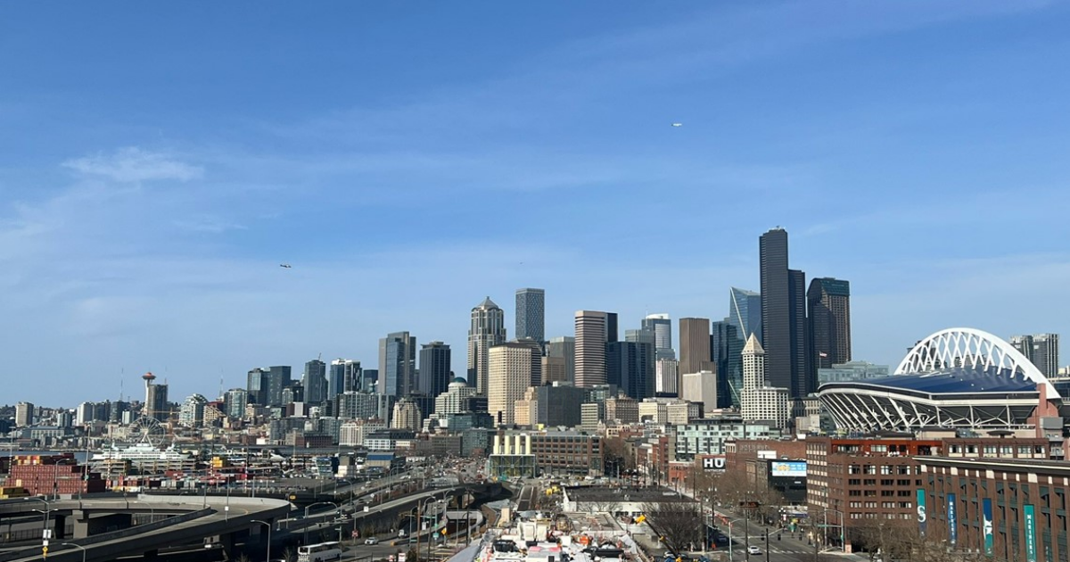
SEATTLE — After a cool and wet start to spring, western Washington is eyeing its first 70-degree day of the season.
A ridge of high pressure is expected to build from the south Monday night into Tuesday bringing dry conditions and warm temperatures.
The southwest interior, south Sound and Cascade foothills are expected to see the warmest weather with highs into the 70s possible. The remainder of western Washington is expected to see highs in the mid- to upper 60s.
Record-breaking high temperatures are possible on Tuesday. At SEA Airport, the daily record high for March 25 is 64 degrees, which was set back in 1969, according to National Weather Service records.
If it did hit 70 degrees at SEA Airport, it would be earlier than most years. On average, Seattle sees its first 70-degree day on April 15, although last year the first 70-degree day came early as well on March 16.
It’s been five months since Seattle has last experienced a 70-degree day. The last one was on Oct. 13, 2024 when temperatures reached 72 degrees at SEA Airport.
The summer-like weather will be short lived. Onshore winds resume Wednesday, which will help moderate temperatures, although they will remain in the 60s. There’s also the possibility of thunderstorms on Wednesday afternoon and evening along with hail, heavy rain fall and gusty winds.
There is a 40-50% chance for widespread thunderstorms over all of western Washington, according to the National Weather Service. There’s a “marginal risk” of severe thunderstorms for much of the interior of Skagit County south.
Temperatures return to near normal on Thursday with highs in the low to mid-50s.